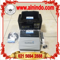
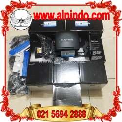
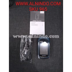
Garmin Montana 650
Montana 650
Diperbaharui
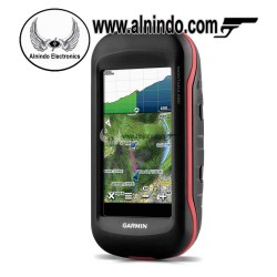
Gps Montana 650 | Garmin montana 650 | montana 650 |
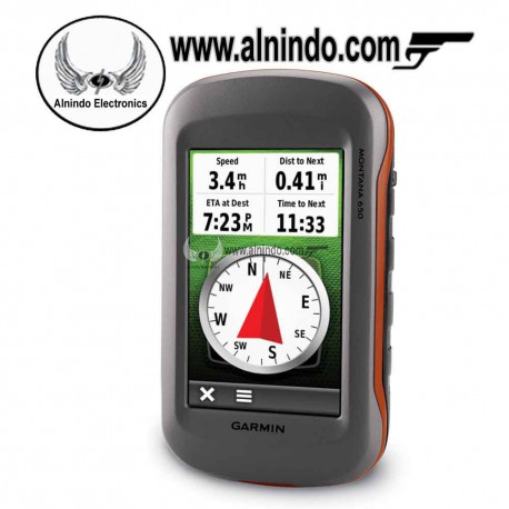
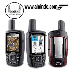
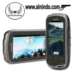
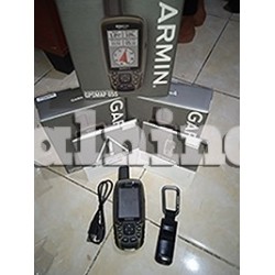
gps garmin montana 650 dari Garmin akan memandu Anda ke manapun Anda pergi. Dengan 4" touchscreen sinar matahari dapat dibaca luas yang menawarkan warna ditingkatkan jernih, dual display orientasi dan tinggi sensitivitas hotfix posisi untuk melacak lokasi Anda, mudah untuk melihat di mana Anda berada di sepanjang waktu. Kedua tahan lama dan tahan air
- Hapus produk ini dari daftar favorit saya
- Tambahkan produk ini ke daftar favorit saya
- Cetak
Info lainnya
Sekarang ada satu GPS genggam untuk berbagai kegiatan. Apakah Anda berjalan kaki, di jalan atau di atas air, gps Montana 650 dari Garmin akan memandu Anda ke manapun Anda pergi. Dengan 4 "touchscreen sinar matahari dapat dibaca luas yang menawarkan warna ditingkatkan jernih, dual display orientasi dan tinggi sensitivitas hotfix posisi untuk melacak lokasi Anda, mudah untuk melihat di mana Anda berada di sepanjang waktu. Kedua tahan lama dan tahan air, gps Montana 650 dibangun untuk menahan unsur-unsur.
Lebih besar, GPS Tangguh untuk ruang Terbuka dengan Kamera.
- 4 inci dengan dua-orientasi, layar sentuh (bisa menggunakan sarung tangan)
- 3 axis kompas dengan standar pengukuran yang tinggi
- Dukungan citra satelit "mata burung", penyesuaian peta Garmin dan navigasi foto
- Menggunakan baterai isiulang (lithium-ion pack) atau baterai AA
Physical & Performance
Display resolution, WxH: 272 x 480 pixels
Display type: bright, transflective 65k color TFT, dual-orientation touchscreen; sunlight readable
Weight: 10.2 oz (289 g) with included lithium-ion battery pack; 11.7 oz (333 g) with 3 AA batteries (not included)
Battery: rechargeable lithium-ion (included) or 3 AA batteries (not included); NiMH or Lithium recommended
Battery life: up to 16 hours (lithium-ion); up to 22 hours (AA batteries)
Waterproof: yes (IPX7)
Floats: no
High-sensitivity receiver: yes
Interface: high-speed USB and NMEA 0183 compatible
Maps & Memory:
Basemap: yes
Preloaded maps: no
Ability to add maps: yes
Built-in memory: 3.0 GB
Accepts data cards: microSD™ card (not included)
Waypoints/favorites/locations: 4000
Routes: 200
Track log: 10,000 points, 200 saved tracks
Features & Benefits: Automatic routing (turn by turn routing on roads): yes (with optional mapping for detailed roads)
Electronic compass: yes (tilt-compensated, 3-axis)
Touchscreen: yes
Barometric altimeter: yes
Camera: yes (5 megapixel with autofocus; automatic geo-tagging)
Geocaching-friendly: yes (paperless)
Custom maps compatible: yes
Photo navigation (navigate to geotagged photos): yes
Outdoor GPS games: no
Hunt/fish calendar: yes
Sun and moon information: yes
Tide tables: yes
Area calculation: yes
Custom POIs (ability to add additional points of interest): yes
Unit-to-unit transfer (shares data wirelessly with similar units): yes
Picture viewer: yes
Garmin Connect™ compatible (online community where you analyze, categorize and share data): yes
Silahkan Hubungi Kami Via Email / Telp Kami Siap Membantu Keperluan Anda :
Telp : (021) 5696 8763 HP : 081586838888
By: Alnindo Group


